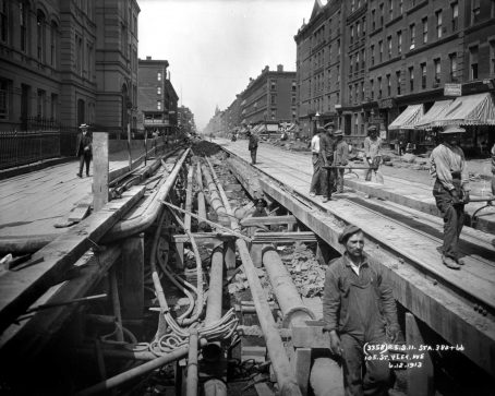
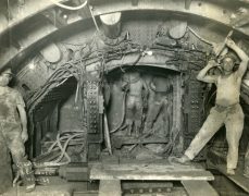
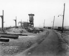
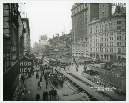
Pierre Pullis had a photography studio on Fulton Street, in New York City, but he spent a lot of time working outside its walls. For about four decades in the first half of the 20th century, he lugged his camera to some rather inconvenient places around the city—including beneath its boulevards. Read more
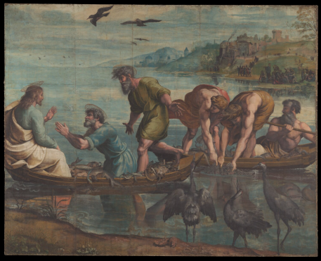
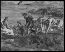
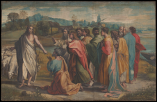
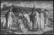
Sistine Chapel Cartoons, by Raphael
New Online Tool Reveals Raphael’s Sistine Chapel Cartoons in Stunning Detail.
High-resolution scans from the V&A offer an unprecedented view of the Renaissance drawings, down to every last line and wrinkle, with options for Visible, Surface, and Infrared.
Visit the Victoria & Albert Museum to see the tool, here:
https://www.vam.ac.uk/articles/explore-the-raphael-cartoons
Pantone 2021 Colors of the Year: Illuminating and Ultimate Gray
Practical and rock solid but at the same time warming and optimistic, the union of PANTONE 17-5104 Ultimate Gray + PANTONE 13-0647 Illuminating is one of strength and positivity. It is a story of color that encapsulates deeper feelings of thoughtfulness with the promise of something sunny and friendly. Read more
Snowflakes, by Nathan Myhrvold
It’s easy to forget that the mounds of snow lining sidewalks each winter actually are comprised of billions of tiny crystals with individual grooves and feathered offshoots. A trio of photographs taken by Nathan Myhrvold, though, serves as a stunning reminder of that fact as they expose the intricacies hidden within each molecule.
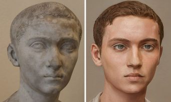
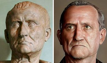
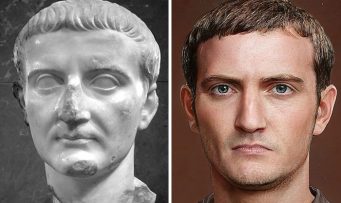
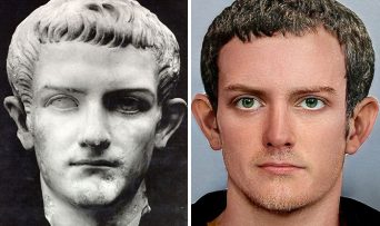
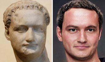
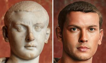
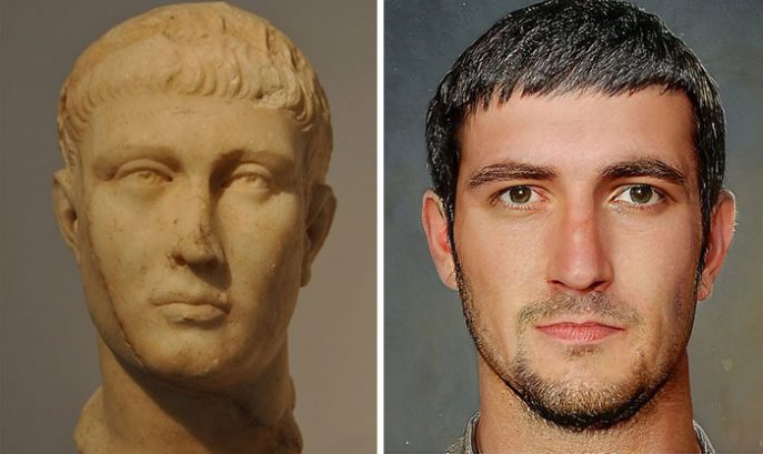
Reconstructed Roman Emperors, by Haround Binous
Haroun Binous, an artist from Université de Lausanne, Switzerland, is bringing the emperors back to life in a series of hyper-realistic illustrations. Combining facial recognition AI, Photoshop, and historical references, Binous is reviving all the Roman emperors, from Augustus to Valentinian III.
See the rest at BoredPanda.com
Speaking American, by Josh Katz

Did you know that your answers to just a handful of questions can reveal where you grew up? In December 2013, Josh Katz released an interactive dialect quiz in the New York Times that became the most viewed page in the paper’s history. Now a graphics editor, Katz harnessed the overwhelming response to that quiz to create Speaking American, an extraordinary and beautiful tour through the American vernacular. Read more
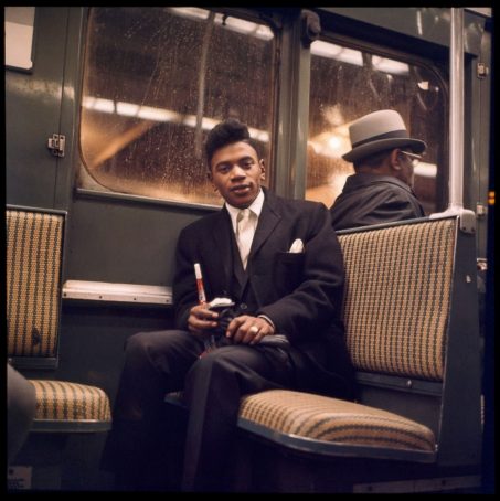
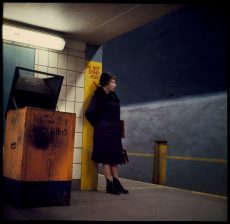
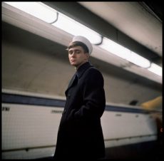
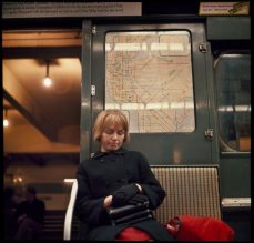
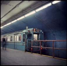
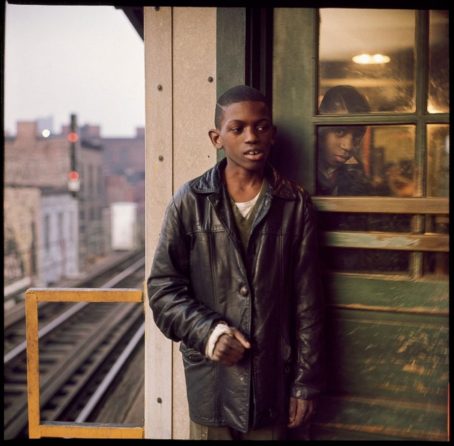
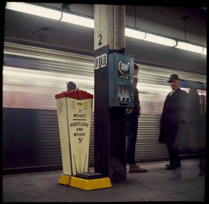
Rare Vintage NYC Subway Trains, by Danny Lyon
Photographer Danny Lyon‘s images of New York City subway riders in 1966 were featured in an exhibit by MTA Arts & Design. Lyon has had a distinguished career as a photographer and filmmaker, most notably documenting the Civil Rights Movement and motorcycle gangs in the 1960s. Returning to New York City in late 1966, Lyon’s mother gave him the advice, “If you’re bored, just talk to someone on the subway.” Using a Rolleiflex camera and color transparency film, the images in “Underground: 1966” have never been publicly exhibited prior to this.
(via ABC News)
